
Download Data – Hydrological and Meteorological Monitoring Stations
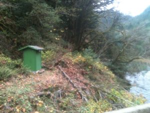
South Fork Coos River – at 7 Mile Bridge Near Dellwood, Oregon -14323600
- Station Status: Active
- Period of Record 2023 to 2026 (CoosWA)
- Drainage Area 210 sq. miles
- NAD83 – Latitude 43.3764, Longitude -123.9577
- Parameters collected: Stage, Discharge, Air Temperature, Precipitation, Barometric Pressure, Relative Humidity, Wind
- Daily Mean Discharge Data 2002 to 2026 – Summary Table
- Instantaneous Discharge 2009 to 2026 – Summary Table
- Weather Data – Summary Table
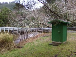
West Fork Millicoma River – near Allegany, Oregon -14324500
- Station Status: Active
- Period of Record – 1954 to 1981 (USGS) 2002 to 2026 (CoosWA)
- Drainage Area 46.2 sq. miles
- NAD83 – Latitude 43.4766, Longitude -124.0567
- Parameters collected: Stage, Discharge, Turbidity, Water Temperature, Air Temperature, Precipitation, Barometric Pressure, Relative Humidity, Wind
- Daily Mean Discharge Data 2002 to 2026 – Summary Table
- Instantaneous Discharge 2010 to 2026 – Summary Table
- Water Quality and Meteorological Data – Data Table
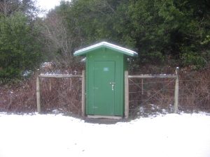
East Fork Millicoma River – below Glenn Creek, near Allegany, Oregon -14324100
- Station Status: Active
- Period of Record – 2002 to Present (CoosWA)
- Drainage Area 65.4 sq. miles
- NAD83 – Latitude 43.4545, Longitude -123.9602
- Parameters collected: Stage, Discharge, Turbidity, Water Temperature, Air Temperature, Precipitation, Barometric Pressure, Relative Humidity, Wind
- Daily Mean Discharge Data 2002 to 2026 – Summary Table
- Instantaneous Discharge 2009 to 2026 – Summary Table
- Water Quality and Meteorological Data – Data Table
- Daily Mean Discharge Data 2008 to 2026 – Summary Table
- Instantaneous Discharge 2008 to 2026 – Summary Table
- Water Quality and Meteorological Data – Data Table
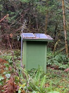
Tioga Creek – near Tioga, Oregon -14323500
- Station Status: Active
- Period of Record – 2008 to Present (CoosWA)
- Drainage Area 24.5 sq. miles
- NAD83 – Latitude 43.2653, Longitude -123.8123
- Parameters collected: Stage, Discharge, Water Temperature, Air Temperature, Precipitation, Barometric Pressure, Relative Humidity, Wind – Weather sensor added August 2024
Marlow Creek – at 1.1 mile, near Allegany, Oregon -14324300
- Station Status: Active
- Period of Record – 2003 to Present (CoosWA)
- Drainage Area 6.03 sq. miles
- NAD83 – Latitude 43.4451, Longitude -124.0208
- Parameters collected: Stage, Discharge, Turbidity, Water Temperature, Air Temperature, Precipitation, Barometric Pressure, Relative Humidity, Wind
- Daily Mean Discharge Data 2003 to 2026 – Summary Table
- Instantaneous Discharge 2009 to 2026 – Summary Table
- Water Quality and Meteorological Data – Data Table

Willanch Creek – at Tide Gate mile, near Cooston, Oregon
- Station Status: Active
- Period of Record – 2015 to Present (CoosWA)
- Drainage Area 6.03 sq. miles
- NAD83 – Latitude 43.4451, Longitude -124.0208
- Parameters collected: Water level upstream and downstream, Velocity, Water Temperature, Air Temperature, Precipitation, Barometric Pressure, Relative Humidity, Wind
- Raw Data 2015 to 2026- Excel Table
- Data Summaries – Excel Table